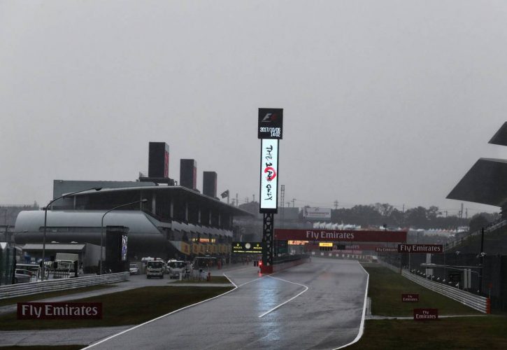
Formula 1 is keeping a watchful eye on typhoon Hagibis which has strengthened from a tropical storm to a super typhoon in the past 24 hours and threatens to impact next weekend's Japanese Grand Prix at Suzuka.
The typhoon's winds are currently peaking at 185 km/h, gusting up to 232 km/h but with predictions of increasing to 300 km/h by Tuesday!
Hagibis was located more than 600 km east-northeast of Guam as of Monday morning local time, with models projecting the monster storm to continue a north-westerly path towards Japan where it is expected to make landfall on Saturday morning.
Former F1 meteorologist Steffen Dietz says the storm's potential impact on Japan is high, although it shall have considerably weakened by the time it hits the land of the Rising Sun.
#Hagibis has explosively intensified and is now already a super typhoon! (= hurricane category 4)
Track forecast towards Japan and #F1 is quite consistent. Likelihood for any impact is high, however, details remain uncertain at this stage. (1/2)
Sources: JMA, JTWC, Weathernerds pic.twitter.com/ZzJfSqRywi
— Steffen Dietz (@sdietzf1) October 7, 2019
"Generally the system will weaken significantly before reaching Japan, but it will stay powerful," Dietz commented on Twitter.
"Today models see a slightly faster propagation, so main impact on #F1 could be already on Saturday."
The Japanese Grand Prix isn't the only event set to be impacted by Hagibis. Organisers of the Rugby World Cup are also closely monitoring the weather situation in the Western Pacific.
At the very least, it should be a wet and windy weekend at Suzuka.
Gallery: The beautiful wives and girlfriends of F1 drivers
Keep up to date with all the F1 news via Facebook and Twitter


